
G1- Advanced Certificate in Geoinformatics-One Month Fulltime Program
G1 · PROFESSIONAL TRAINING PROGRAM
Advanced Certificate in Geoinformatics
Build practical expertise in GIS, Remote Sensing and location intelligence for real-world applications.
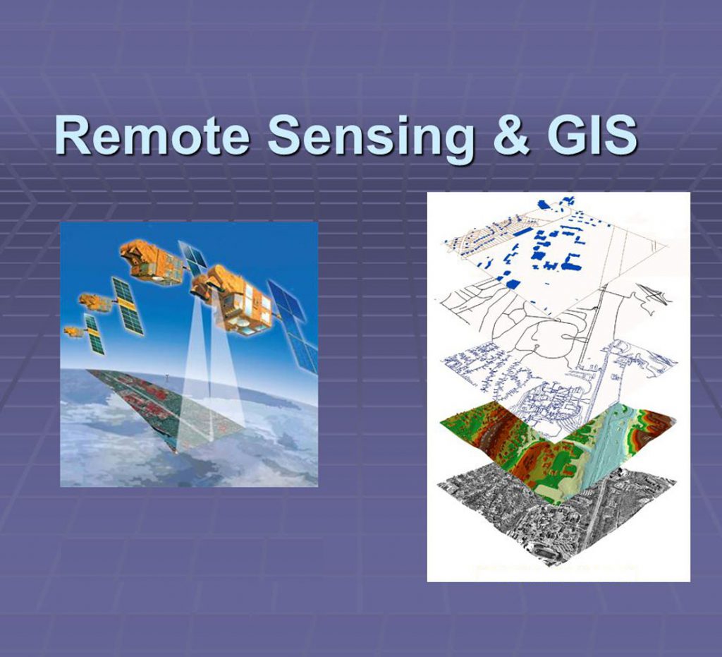
GIS & Remote Sensing
The G1- Advanced Certificate in
Geoinformatics is an intensive,
skill-oriented program crafted for students,
early-career professionals, and domain experts
looking to harness the power of location
intelligence.
In today's data-driven world, skills in
Geographic Information Systems
and Remote Sensing are critical
across sectors like urban planning, environment,
agriculture, forestry, infrastructure, and
business analytics.
This course moves beyond theory, focusing on
practical, industry-relevant
applications using leading open-source
tools. You will not just learn software; you will
learn to solve real-world spatial problems, from
site selection and change detection to creating
interactive web maps.
Course Duration
26 Working Days
Course Fee
₹10,000 + 18% GST
Training Mode
Instructor-Led
Learning Approach
Hands-on, Practical &
Industry-Oriented Training
Eligibility & Target Group
Who Should Attend?
Graduates/Postgraduates in Geography, Environmental Science, Geology, Agriculture, Urban Planning, Civil Engineering, or IT. Professionals in government, NGOs, or private firms seeking to add geospatial skills. Anyone aspiring to build a career as a GIS Analyst, Spatial Data Scientist, Remote Sensing Analyst, or Cartographer.